


Drones

Drones
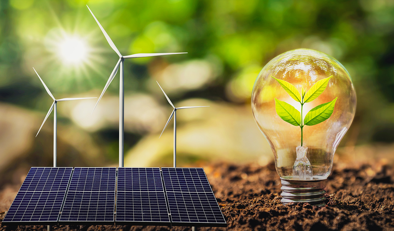
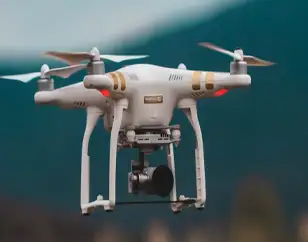
Drones, also known as unmanned aerial vehicles (UAVs) or remotely piloted aircraft systems (RPAS), are aircraft that fly without a human pilot on board. They can be controlled remotely or operate autonomously using pre-programmed flight paths. Drones combine robotics and aeronautics, and their versatile nature allows for a wide range of applications in various sectors.
Over the past decade, drone technology has advanced significantly, making drones inexpensive and increasingly common in both professional and civil environments. The huge takeoff of drones means that there are a large number of different types of drones available for purchase, which is good news for people who want their own small flying machine, as you are sure to find one that fits your needs perfectly.
But different types of UAVs are used for various purposes, so you’ll have to do more research to discover the best drone for your specific needs. In this article, we will discover a simple and practical classification of the different drone types based on very specific parameters.
A “drone” is an unmanned aerial vehicle. That is a machine that can fly without a human pilot. Its flight path is programmed by software or controlled by remote control.
This is just a general definition, there are different terms to refer to this type of aircraft.

Key Highlights / Why Choose Drones
Versatile Applications: Used in industries like agriculture, construction, logistics, defense, and filmmaking.
Cost-Effective Operations: Reduces manpower and operational costs for data collection and inspection.
High Precision & Efficiency: Captures real-time aerial data with accuracy and speed.
Enhanced Safety: Performs risky inspections in hazardous or hard-to-reach areas.
Advanced Technology: Equipped with GPS, AI, sensors, and cameras for smart navigation.
Environmentally Friendly: Minimizes carbon footprint compared to traditional aerial vehicles.
Scalability: Easily adaptable for both commercial and personal use.
Data & Analytics Support: Provides actionable insights through aerial imaging and mapping.
